Terrain Analysis for Modern Agriculture
Advanced mapping and site analysis solutions for farming operations. Optimize your agricultural land with precision terrain data.

Professional Terrain Analysis Solutions
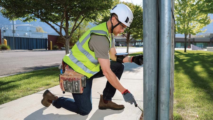
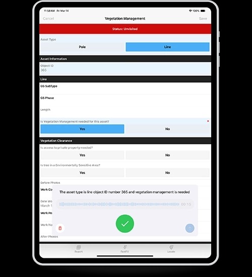
Field Data Collection
Mobile-first data collection with GPS accuracy and voice-powered field capture for efficient terrain analysis and documentation.
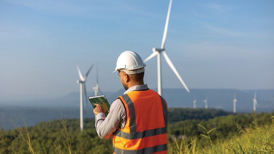
Offline GIS Mapping
Full GIS capabilities in the field with offline mapping, allowing real-time terrain analysis without connectivity requirements.
Crew Management
Coordinate field teams with satellite imagery analysis and real-time terrain mapping to optimize operations at scale.
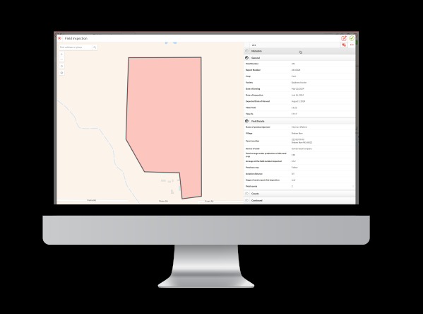
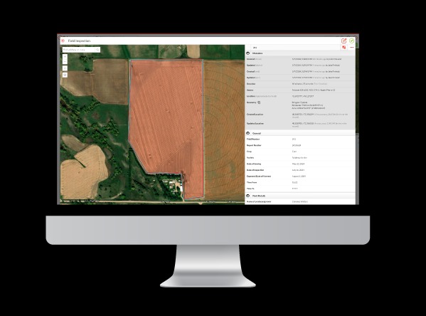
Digital Terrain Mapping Platform
Our advanced mapping platform provides detailed analysis of your agricultural terrain, including topography, soil composition, drainage patterns, and optimal cultivation zones.
- High-resolution terrain mapping
- Soil and drainage analysis
- Crop suitability assessment
- Field optimization recommendations
Customizable Field Applications
Smart Customization
Build custom forms and workflows tailored to your specific terrain analysis requirements and operational needs.
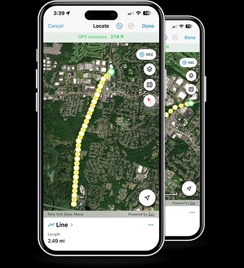
Real-time GPS Mapping
Precise location tracking with satellite imagery integration for accurate terrain feature capture and documentation.
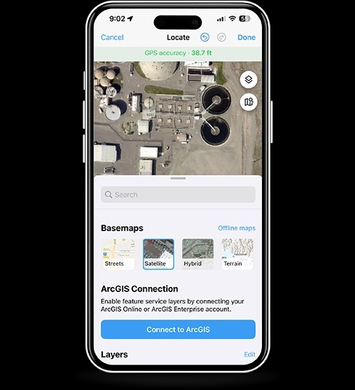
ArcGIS Integration
Seamless connection to ArcGIS for professional-grade terrain analysis and comprehensive data management.
How Lundinius Works
Three simple steps to optimize your agricultural operations with professional terrain analysis.

Submit Your Site
Provide location details and information about your agricultural operation or land. Include any specific analysis requirements.
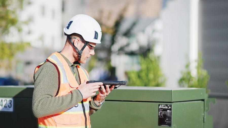
Field Analysis
Our specialists conduct on-site terrain analysis with advanced GPS mapping and data collection tools.

Actionable Report
Receive comprehensive recommendations and optimization strategies specific to your terrain and agricultural goals.
Client Results & Case Studies
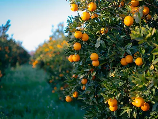
Wonderful Orchards
Professional terrain analysis optimized cultivation zones resulting in 30% improved yield distribution across the orchard operation.
Sustainable Land Management
Implementing data-driven strategies for long-term agricultural sustainability with reduced environmental impact and increased productivity.
Drainage Optimization
Improving water management through advanced topographic analysis and field planning, eliminating waterlogging and erosion problems.
Frequently Asked Questions
What is included in a terrain analysis?
Our comprehensive analysis includes topographic mapping, soil composition assessment, drainage pattern analysis, and crop suitability evaluation.
How long does the analysis process take?
Most analyses are completed within 5-10 business days depending on the size and complexity of your site.
Can you analyze multiple properties?
Yes, we regularly handle multi-property assessments and can provide comparative analysis across different locations.
What format will I receive the report in?
Reports are delivered as comprehensive PDF documents with detailed maps, data visualizations, and actionable recommendations.
Ready to Optimize Your Agricultural Land?
Get started with professional terrain analysis from Lundinius AB. Contact us today for a consultation.